
Resources

The mapping application is an output of the pilot study and establishes the framework for the NOAA CINDI project.

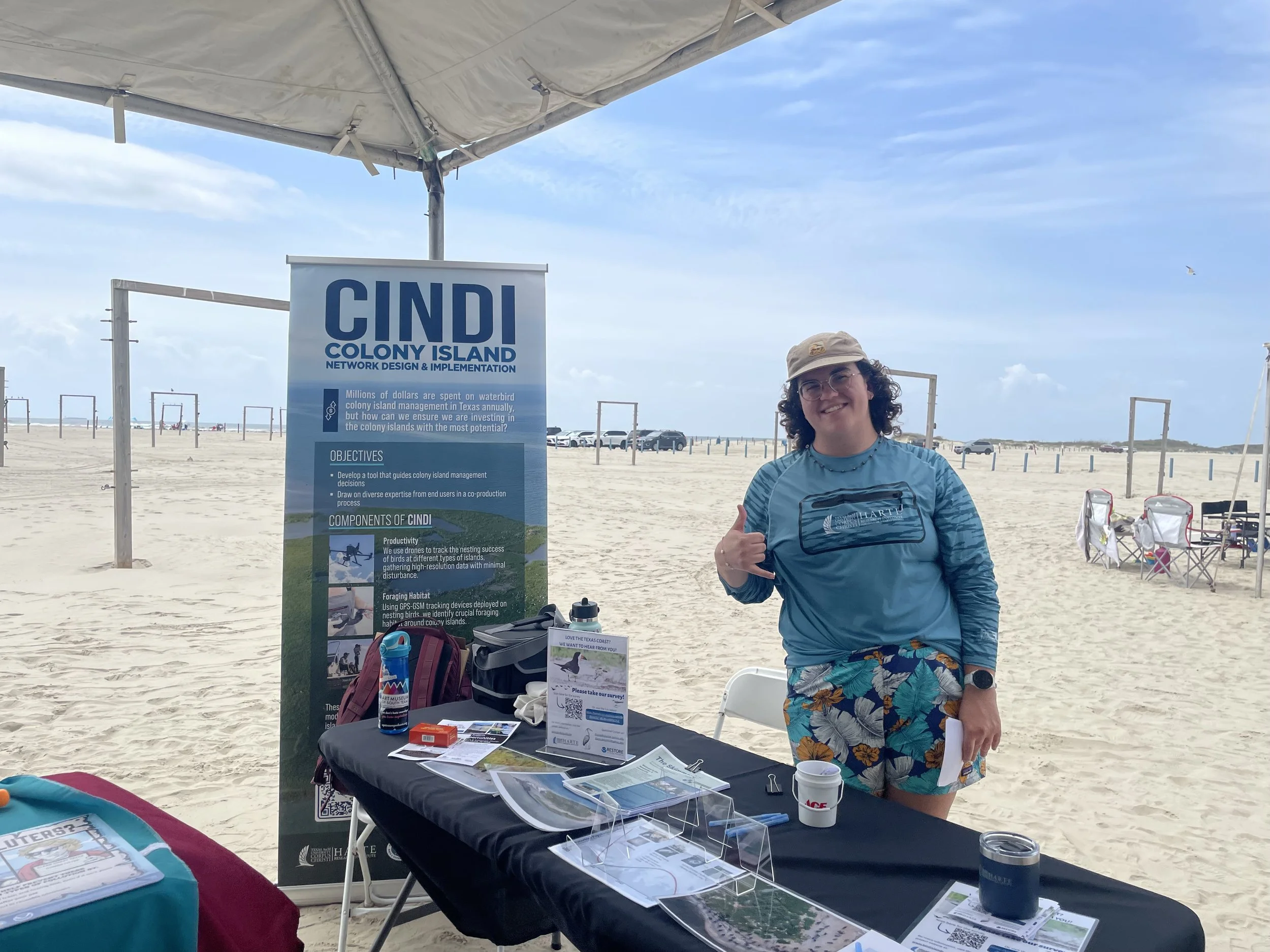
Find photos and videos from the NOAA CINDI project here.

The NOAA CINDI project draws from a pilot study to demonstrate its efficacy on a 90-mile portion of the Texas coast.


All datasets collected for the NOAA CINDI project are accessible on the GRIIDC data repository.
Summaries of meetings and workshops are archived on this website for reference and public interest.

Join the Bird-islands listserv to stay informed about the CINDI Project, share ideas, and collaborate on topics regarding colonial waterbird conservation
Take the survey to help the Project Team understand how people value waterbirds and their nesting habitat.